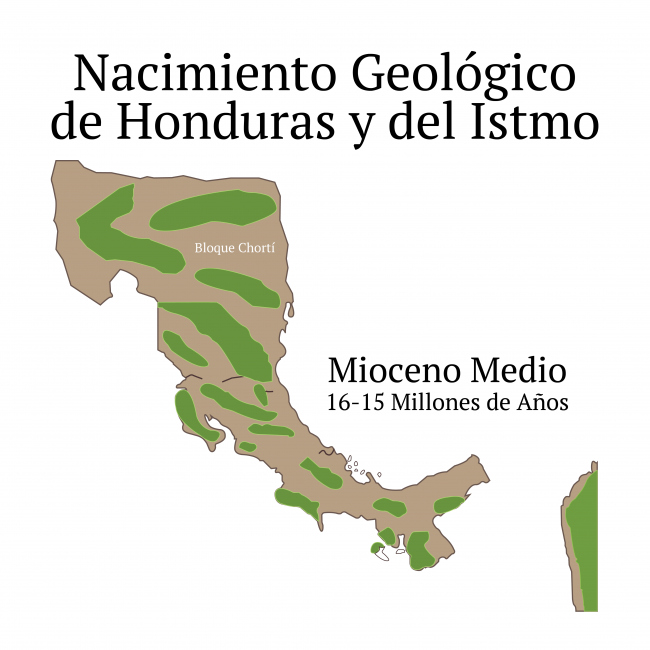
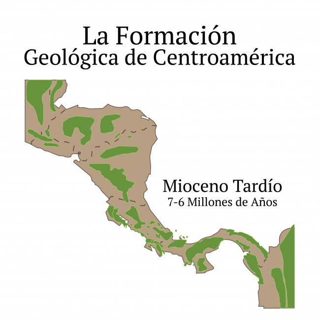
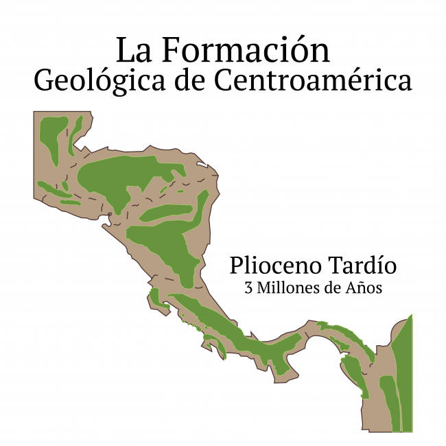
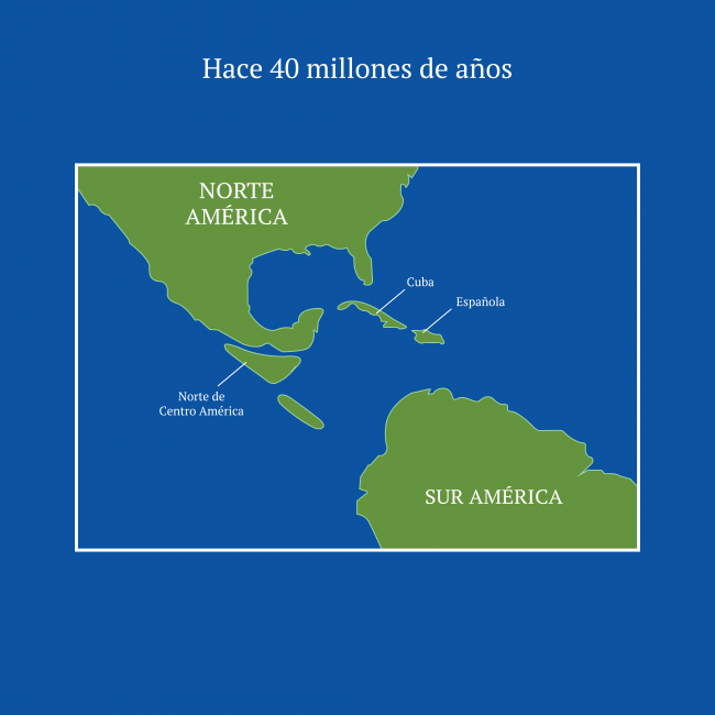
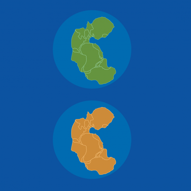
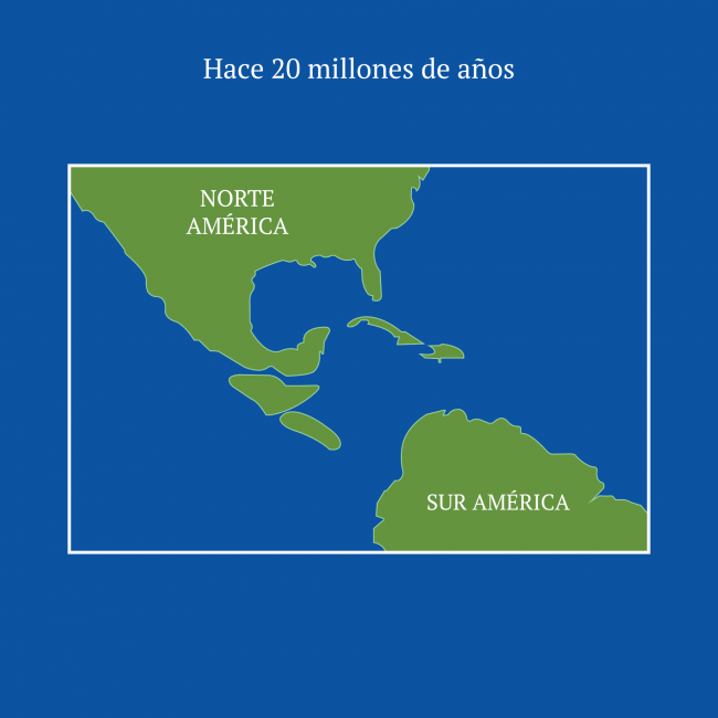
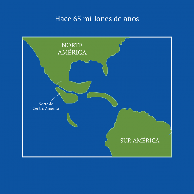
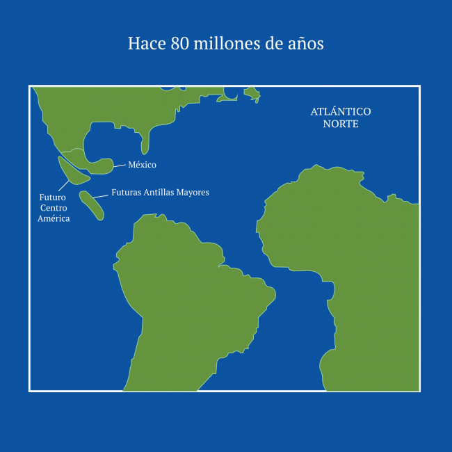
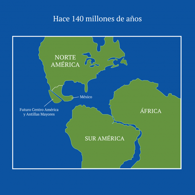
The emergence of the Central American isthmus constitutes the underlying link of human history and therefore there are some regions where its influence has been more decisive than in Central America, this due to the changes that are developing through the processes of folding by the deformation of the earth's crust and preceded and followed by earth movements. The result of these movements is the separation of the Pacific Ocean from the Atlantic Ocean, creating great marine currents that transformed the earth's climate, making northern Europe habitable and producing the conditions for the first human beings to appear in Africa. All this happened during a very slow process, measured in millions of years, until America becomes a single continent.
Therefore, much of the geological development of the Central American region is somehow related to its isthmian structure, tropical environment, climate, vegetation, and soils that are necessary for understanding its history.
Located at the convergence of several tectonic plates, Central America has a particular complex geology, comprising two distinct and unequal parts, separated by a low-altitude fault or tectonic valleys of about five hundred kilometers of longitude, located in a northwest to southeast orientation, stretching from the Gulf of Fonseca on the central
Pacific coast to the Caribbean coast of Costa Rica. With two large lakes Managua and Nicaragua draining through the San Juan River to the Caribbean Sea, this stretch constitutes the main route through the center of this isthmus. At the other extreme, to the north lies the largest and geologically oldest portion of the two sections of Central America, including northwestern Nicaragua, Honduras, El Salvador, Guatemala, Belize and southern Mexico.
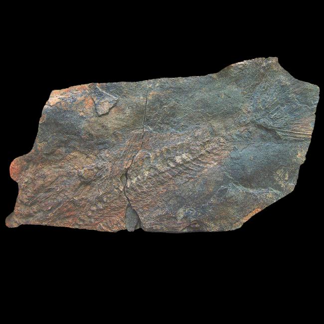
Its metamorphic rock base dates back to at least the Paleozoic, more than 220 million years ago.
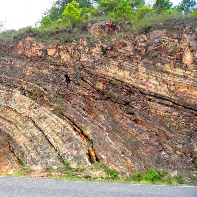
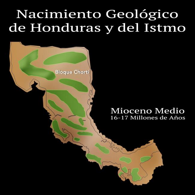
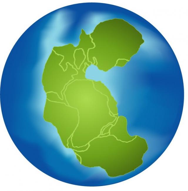
As for Honduras specifically, in the long process of geological formation, its metamorphic rock base dates back at least to the Paleozoic more than 220 million years ago, once it detached and separated by thousands of kilometers from the original continent called "Pangea". Later, as a result of the intense underwater pressures of the tectonic plates, mountain massifs like the Celaque mountain range, one of the highest in Honduras, began to emerge on the horizon.
This rather young geological configuration means that Honduras has excessively porous rocks and alluvial valleys that can easily be eroded by any tropical storm. The Honduran soil lacks the granitic consistency of the compact rocky mountain ranges that were subjected to the enormous ice pressures of glacial times, and to the intense volcanic activity of the old continents of the planet. Such vulnerability is observed even in rocky cities like Tegucigalpa, crossed by equally young, and therefore very unpredictable, flowing rivers.
