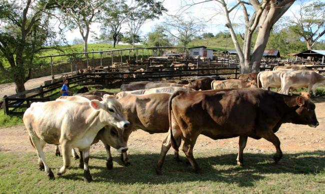
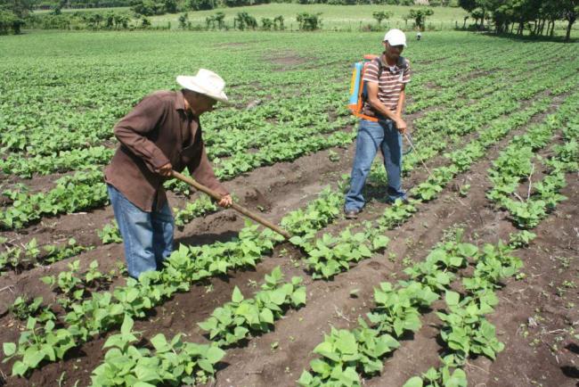
The territory of Honduras can be divided into three geo-economic zones, according to its topography and main economic activity. The Western zone was mainly agricultural and during most of the century, timber extraction activities took place; the Central zone had a mixed economy - mining, livestock and trade; and, the Eastern zone depended on alluvial livestock and gold mining. The varied topography provided wealth to the inhabitants through communal lands for subsistence agriculture, cattle ranches and farms for medium and small families for subsistence farming and commercial agriculture. In addition, it offered extensive forests for logging and countless hills and riverbanks for the extraction of precious metals. For the map with explanatory chart, see page 49 of the book Honduras in the 19th century.


