The Spaniards had the peninsular experience of establishing new cities based on the use of a grid, especially in areas reconquered from the Muslims or in areas of population development.
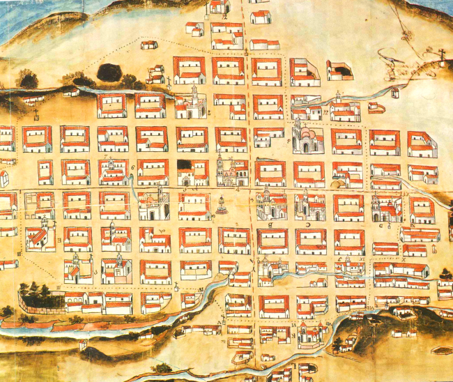
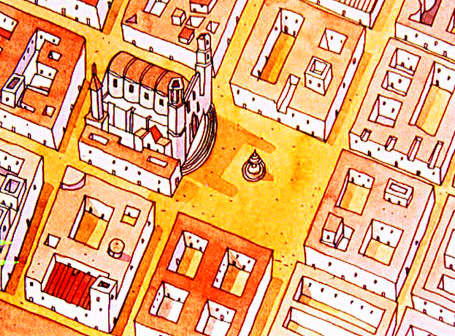
Having made the discovery by sea or by land according to the laws and orders that govern it and having chosen the province and region to be populated and the site and place to make new populations and taking possession of it, they keep the following form: In the sea coast the site should be raised healthy and strong, taking into consideration the shelter, depth and defense of the port (in the case of the foundation of Trujillo); in this and other inland towns, choose the site without prejudice to the Indians and natural or with their free consent and when they make the plant of the place distribute it by its squares, streets and lots by string and rule, starting from the main square and moving out from it to the streets to the gates and main roads and leaving so much open pattern that although the population is growing, it can be continued and expanded in the same way .
Architectural layouts in the foundations
The aforementioned also makes reference to the fact that physical-geographical and population aspects must be taken into account, that nature must be considered as a whole and as an indispensable element in that future Village, Royal, City or Fortress, which will be developed under regulations, in which the materials in the constructions, the elevation of the houses, the location of the corridors, the width of the streets, the extension of the overhangs of houses, would be conditioned by the ordinances contemplated in the Indiana Legislation.
From these criteria, in Honduras we can identify diverse architectural styles in the colonial foundations, among them: the grid plan layouts, also known as checkerboard layouts, mining plant layouts, indigenous reductions that could be of the royal crown, chieftain or religious.
Renaissance Layout /Grill Drawing
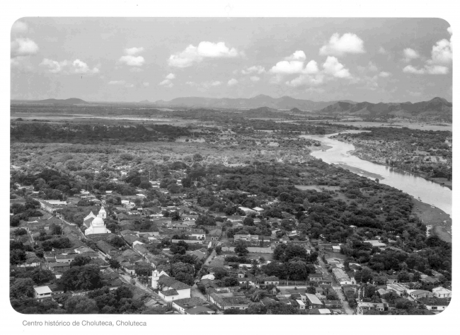
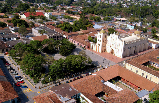
The Renaissance routes almost always brought together four geographical elements such as: flat topography, mighty rivers, surrounding mountains and indigenous population. Classical examples in Honduras are: the city of Gracias a Dios, today Gracias, Lempira (1536), Nueva Valladolid de Comayagua (1537), this the typical city of checkerboard layout, Xerez de la Choluteca (1534), San Jorge de Olancho (1539), Tegucigalpa (1579), there are more examples, but the most significant can be mentioned.
Mining Plant Layout
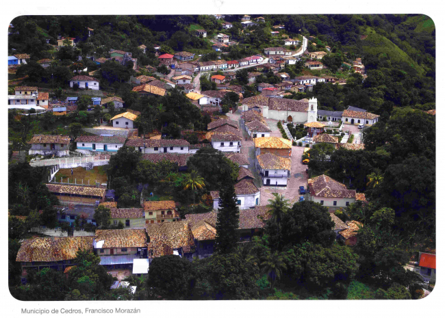
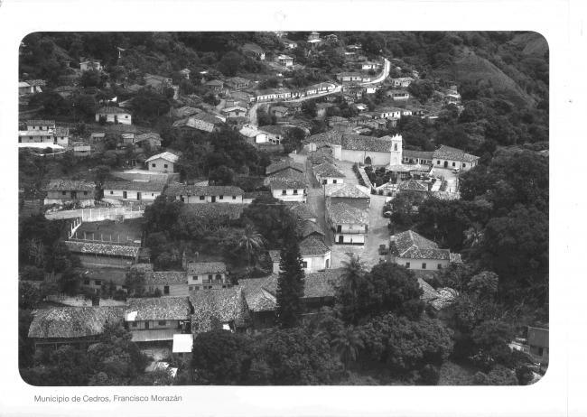
The towns of mining plant layout, are those foundations where the topography is irregular, but in its subsoil was found to have had great economic potential in metals. Examples of these routes are: Santa Lucia, Cedros, San Antonio de Oriente, El Corpus, Yuscaran, Opoteca, towns that some mining companies today, have tried to insert them to that past of exploitation of resources, nonetheless their inhabitants have expressed resistance, suggesting that what should be developed are natural and cultural tourism projects with a sustainable vision for their communities.
Indigenous Reduction Layouts
The indigenous reductions, basically, are all those nuclei of population in which the Indians had to be resettled, separated from the towns or cities where the Spaniards lived, since the beginning of the Spanish presence in Honduras. The Crown had been concerned about the constitution of indigenous peoples, ordered them to live in the towns of the Spaniards, and that through the indoctrination of the Encomenderos, it was believed that with the continuous conversation they would have with them, as well as attending church on feast days to hear mass and the divine offices, and to see how the Spaniards do it, the sooner they would learn it from the Catholic religion.
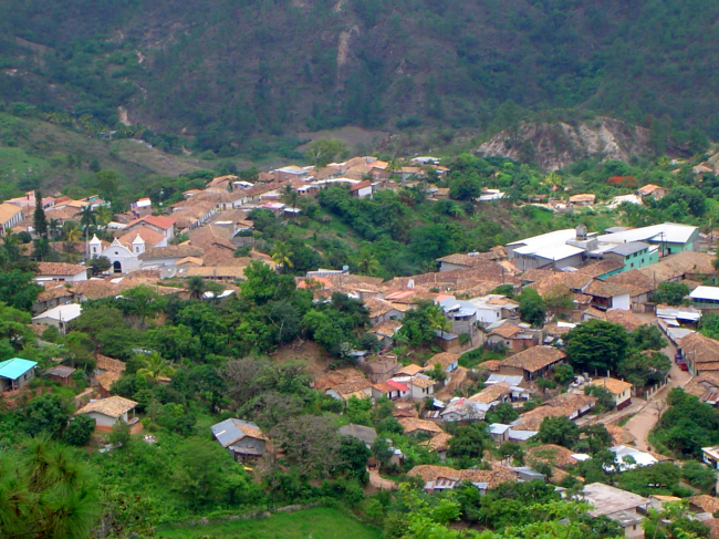
However, the abuses of the encomenderos and, above all, the "evangelizing" character of the Castilian state, which based its rights over the lands and people on the papal mandate to evangelize the Indians, led to organizing the necessary efforts to facilitate the work of the Mercedarian and Franciscan missionaries, for which the concentration of the natives in towns and cities in the Castilian style was indispensable, although separated from the Spaniards, today these reductions are all those towns of the interior, whether they are called Gualsince, Texiguat, Piraera, Curaren, Liure, Oropoli, etc.
